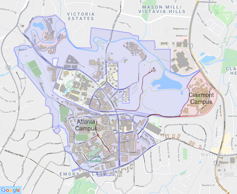
Emory Interactive Map
(Click map to activate)
Using GIS (geographical information systems) the buildings, roads, shuttle stop locations and other map features all have been drawn to scale and represented accurately. This provides the viewer with a better understanding of distances and more effective way finding. The campus map includes the Wesley Woods, Briarcliff and Clairmont campuses and can be printed from the web in a variety of formats.
